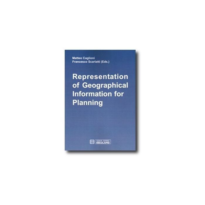
Representation Of Geographical Information For Planning

- ISBN/EAN
- 9788874883165
- Editore
- Esculapio
- Formato
- Brossura
- Anno
- 2009
- Pagine
- 310
Disponibile
22,00 €
This Book offers an extended survey of italian applications in Geographical Information Systems, with a special focus on the domain of urban and territorial planning. In this perspective, a number of italian contributions about geomatics and GIS software are also considered, being strongly interconnected.
Papers are presented within a frame of current trends: in geomatics (transition from analogical to digital data; development of new sensors for spatial data acquisition; success of positioning devices); in GIS software (the 3D challenge, the shift from local to web processing, the need of interoperability and semantic treatments); in uses (emerging new fields of application such as environment protection, mobility and urban traffic).
MATTEO CAGLIONI is PhD. at SMECTE (Sciences and Methods for European City adn Territory) of University of Pisa.
FRANCESCO SCARLATTI is a professional expert on environmental certification of infrastructures, grant Professor of Environmental Impact Analysis at the Faculty of Architecture and Building Engineering of Polytechnic of Milan.
Maggiori Informazioni
| Autore | Caglioni Matteo; Scarlatti Francesco |
|---|---|
| Editore | Esculapio |
| Anno | 2009 |
| Tipologia | Libro |
| Lingua | Inglese |
Questo libro è anche in:
